Slovenia spared by weather, but downgraded flood risk remains
Three months after extreme flooding that hit most of the country, Slovenia braced for more floods and landslides on 2 November, but thankfully worst-case scenario did not materialise. After a brief respite forecast for 4 November, the weather will turn again but the situation should be less risky.
Despite the previous night full of rain and strong winds, emergency services did not have to deal with massive damage on 3 November. There were some road closures due to flooding and landslides, minor disruptions of electricity supply, and small-scale evacuations, but so far nothing close to the August floods, whose damage and impact the government has estimated at nearly €10 billion.
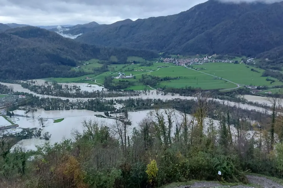 The Soča River spills over near Tolmin. Photo: Primorski Val/STA
The red and orange-coded alerts were downgraded to yellow for the whole of the country, except for the southwest, where an orange alert remains in place due to strong winds.
Bursting their banks have been several rivers across the country, including the Sava Bohinjka and the Sava in the north-west, the Tržaška Bistrica near Tržič, also in the north-west, and the Reka near Ilirska Bistrica in the south-west.
The sea flooded as well, but what caused more damage in the coastal town of Izola was stormwater. The port of Koper had to be temporarily closed to traffic due to strong winds and reopened in the early hours of 3 November.
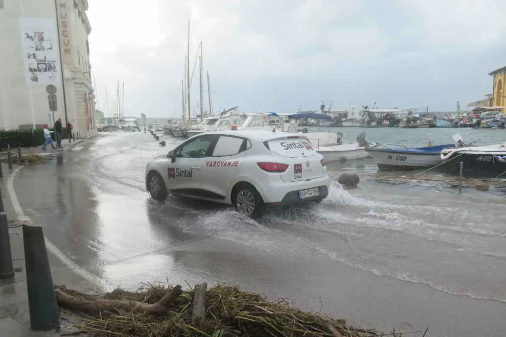 The sea floods parts of Piran. Photo: Bojan Kralj/STA
In a span of 24 hours, the biggest amount of rainfall fell in the Julian Alps area. A rain gauge station on Mount Vogel, overlooking the swollen Lake Bohinj, recorded 234 l/m2. The Julian Alps area was also battered the most by fierce winds with gusts reaching 185 km/h on Kredarica Summit.
The situation has been stabilising, but when it comes to flooding the main potential hotspot remains the Drava River, which has spilled over in the Dravograd area in the north. At the point where it enters Slovenia, its latest recorded discharge was at 1,800 m3/s, hydrologist Janez Polajnar told a press conference on 3 November.
The discharge of the Drava in the middle and lower reaches is expected to be around 2,000 m3/s, which would be the second or third highest on record. Emergency services are on standby and will remain so until the situation calms down.
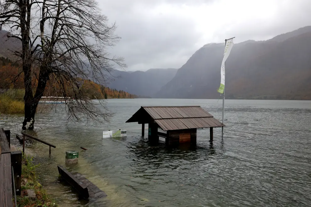 Lake Bohinj swollen after heavy rain. Photo: Daniel Novakovič/STA
Moreover, the Environment Agency issued a second-highest wind alert for the south-west of the country for 5 November. The north-west will be under a heavy rainfall alert of the same intensity level on that day.
The situation is expected to be less risky but since soil will be already saturated, flooding and landslide hazards remain, meteorologist Branko Gregorčič told the press conference.